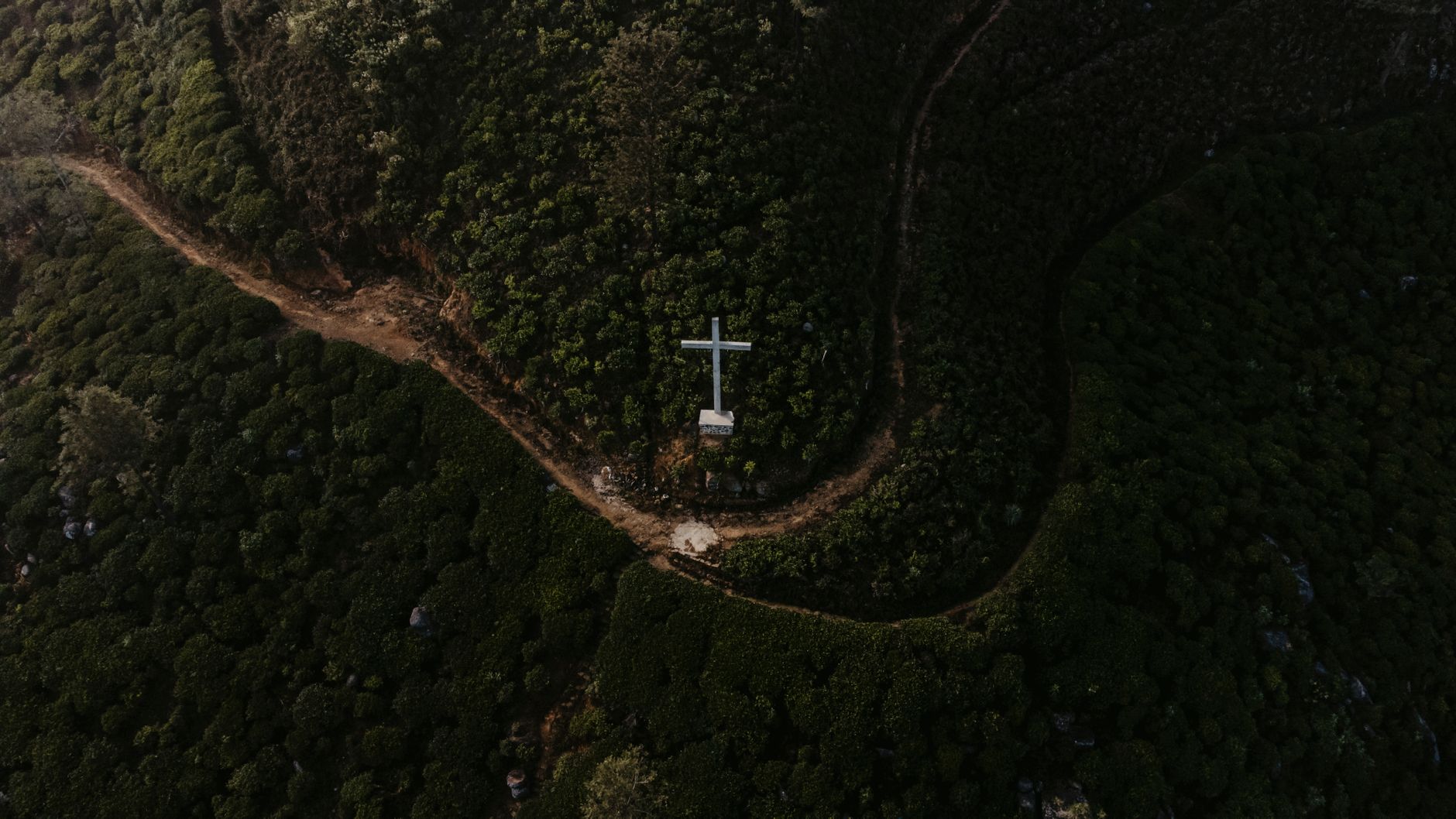
Pekoe Trail Map & Route Guide
The Pekoe Trail is a 10km hiking route through Sri Lanka's tea plantations, connecting Kandy and Ella via Ramboda Pass. It's moderate difficulty, takes 5–7 hours, and climbs roughly 1,200m total. You'll walk through working tea estates, past waterfalls, and across open ridges with views across the highlands.
What is the Pekoe Trail?
The Pekoe Trail is a long-distance hiking route that runs roughly north–south through the central highlands, named after the grading system for black tea (Pekoe refers to the leaf grade). The official route spans approximately 10km and follows a mix of plantation paths, forest trails, and steep ascents through Sri Lanka's most productive tea-growing region.
The trail connects the town of Ramboda (accessible from Kandy) to Pattipola station near Ella. Most hikers walk it in a single day, though overnight stays along the route are possible. The path is popular because it moves through active tea estates—you'll see pickers at work, and the landscape changes dramatically from lush valleys to windswept ridge-top terrain.
Related: Best Tea Factory to Visit in Sri Lanka
Related: Kandy to Ella Train: The Ultimate Guide to Sri Lanka's Most Scenic Journey
Related: Budget Hotels in Sri Lanka: What to Expect and How to Choose
Pekoe Trail Map: Route Overview
The trail follows a loose north–south trajectory with no official signposting. Most hikers use a combination of GPS coordinates, local guides, and landmarks. Here's the general structure:
Starting point: Ramboda Pass (around 1,050m elevation). Most people start here because it's accessible via the main Colombo–Kandy–Nuwara Eliya road.
Key waypoints:
- Ramboda Pass to Ramboda Waterfall (45 minutes, descent to the falls and back)—a warm-up section.
- Ramboda Estate area to Shawbridge estate (1.5–2 hours, moderate climbing).
- Through open tea plantations with elevation gain (2–3 hours, 300–400m climb).
- Pattipola Pass (circa 1,800m, the high point of the route).
- Final descent toward Pattipola station (1.5–2 hours, steep descent to around 1,650m).
The route doesn't follow a single tarmac road; instead it weaves between plantation access tracks, forest sections, and steep scrambles. Depending on the exact variant you take and how often you pause for views or photos, timings vary widely.
Distance and Duration
The core trail is approximately 10–12km depending on your start and finish points. Most guidebooks cite 5–7 hours for the walk, though this assumes:
- Moderate fitness and acclimatisation to altitude (you're spending all day above 1,000m).
- Stopping for water and photos (likely 20–40 minutes total).
- A guide (makes navigation faster, as the route is not officially marked).
If you're carrying a heavy pack, unfit, or taking frequent breaks, expect 7–9 hours. If you move quickly and know the route, you could do it in 4–5 hours, but that's not recommended for first-timers, especially given navigation complexity.
Elevation Gain and Difficulty Assessment
The trail climbs roughly 1,200m across the day (not all continuous). Here's the honest breakdown:
Gradient: Steep in sections. Several 30–40 minute pitches with 200–300m elevation gain are relentless. You'll have legs—especially thighs and glutes—working hard on the way up and feeling it on the way down.
Terrain type: Mixed. Tea plantation tracks (often muddy or eroded), forest trails (sometimes overgrown), and open ridges. Footing is sometimes loose soil or exposed rock.
Altitude: You spend the whole day above 1,000m, reaching 1,800m at the high point. If you're coming directly from sea level or lower altitude, expect some breathlessness on the steeper sections.
Overall rating: Moderate to moderately strenuous. It's not a scramble or via ferrata, but it's not an easy stroll either. If you've hiked a European alpine pass (e.g., Mont Blanc, Gran Paradiso) at similar altitude, you'll find it comparable but with more muddy sections and less marked trail.
Best Conditions and Timing
The trail is walkable year-round, but conditions vary:
- Dry season (January–March, July–September): Best visibility, driest footing. September–November can still work but expect damp ground. Midday clouds are common even in dry months.
- Monsoon (May–September in the southwest, October–December in the northeast): Muddy, slippery, and cloud-covered. Many hikers skip this.
- Morning starts: Begin by 6–7 a.m. to finish in daylight. The afternoon cloud can roll in by 1–2 p.m., reducing views.
Temperature ranges 10–18°C depending on time of year. Wind at the high point can be stiff; layers are essential.
Navigation: Do You Need a Guide?
The trail is not clearly marked with paint blazes or signs. Most hikers hire a local guide (usually £8–15 per person for groups). A guide makes a significant difference:
- With a guide: Faster, fewer wrong turns, stories about the tea estates and local history.
- Without: You'll need offline GPS (download beforehand), compass skills, or very detailed route notes. People do walk it independently, but wrong turns cost time and energy.
If you're experienced with map reading and GPS navigation in remote areas, solo is feasible. Otherwise, a guide is worthwhile insurance.
What to Bring and Wear
Essential:
- Good hiking boots with ankle support (terrain is steep and sometimes loose).
- 2–3 litres of water capacity (refill points exist but aren't guaranteed).
- Layers: fleece or down jacket, rain jacket, long-sleeved shirt (sun and scratchy vegetation).
- Hat and sunscreen.
- Snacks: energy bars, nuts, banana.
- Headtorch or powerful phone torch (if finishing late or in poor visibility).
Optional but useful:
- Hiking poles (especially for the descent—saves knees).
- Gaiters (mud and leeches in wet season).
- Waterproof bag for phone/camera.
Starting the Hike: Logistics
Most hikers start at Ramboda Pass, which is on the main Kandy–Nuwara Eliya highway (A7). You can reach it by:
- From Kandy: About 1 hour drive (30km) south on the A7.
- From Ella: About 1.5 hours drive (45km) north.
- By bus: Intercity buses between Kandy and Nuwara Eliya pass Ramboda; you can board and ask the driver to stop at Ramboda Pass.
Few accommodation options sit directly at Ramboda Pass itself. Most hikers either start very early and arrange a private vehicle drop-off, or overnight in Kandy and begin the drive before dawn.
The finish is near Pattipola railway station (on the main hill railway line between Ella and Kandy). From Pattipola, you can catch a train onward or arrange a vehicle to Ella (about 30 minutes) or back to Kandy (about 1.5 hours).
Pekoe Trail vs. Other Highland Hikes
Sri Lanka has several tea-estate hikes. The Pekoe Trail differs because:
- More remote than Adam's Peak: Fewer crowds, more intimate with plantations.
- Longer and more sustained than Pidurutalagala: Covers more altitude and distance.
- More challenging than casual Nuwara Eliya walks: Proper fitness needed; not a park stroll.
- Less touristy than Lipton's Seat walk: You'll rarely encounter organised groups.
FAQ
Can you do the Pekoe Trail without much hiking experience? Yes, if you're reasonably fit and accustomed to walking hills. However, it's steep in places and unforgiving on the descent. If you've never walked more than 10km or climbed 600m in a day, consider a shorter highland hike first (e.g., Pidurutalagala from Nuwara Eliya) as a fitness test.
Is the Pekoe Trail safe? Yes, generally. There are no particularly exposed scrambles or sections where a slip means serious injury. Risks include slipping on muddy descents, getting lost without a guide, and exhaustion on the climb. Hiring a guide eliminates most concerns. Tea-estate workers pass through regularly, so you're not in genuine wilderness.
What's the best time of year to walk the Pekoe Trail? January to March or July to September. December to May brings afternoon clouds; October to November can be very wet. Visit /ella/best-time-to-visit and /kandy for regional weather patterns before booking.
Can you overnight on the Pekoe Trail? There are no official huts or campsites. You'd need to camp wild (permission from plantation owners unclear) or arrange a guide who knows locals offering basic room and board en route. Most people walk it in one day. If interested in multi-day highland trekking, ask locally about alternative routes.